1. Providing public and private institutions with processed satellite images with different discriminatory capabilities.
2. The use of remote sensing in various scientific and research applications, such as environmental, geological and agricultural applications.
3. Keeping abreast of developments with regard to remote sensing science and technology.
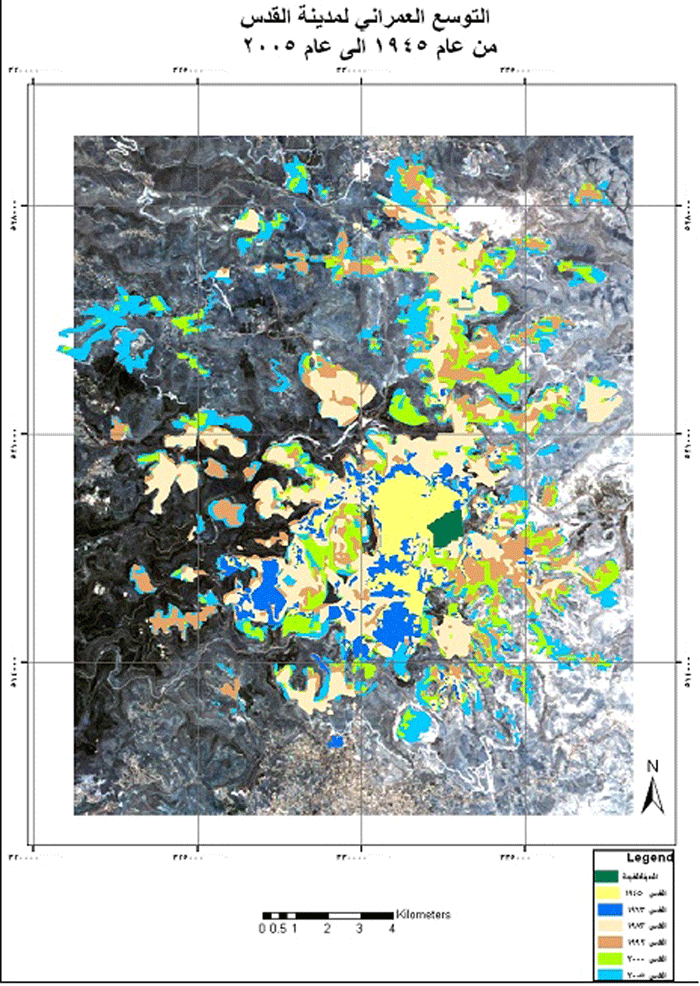
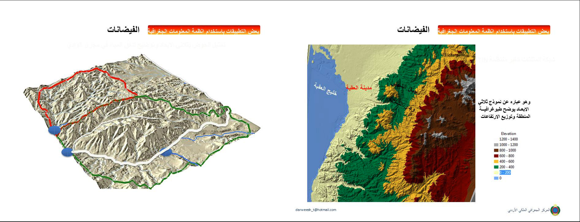
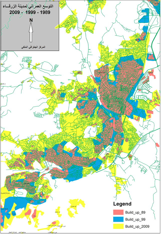
4. Producing qualitative maps, such as maps of land cover and land uses, and updating topographic maps from satellite images.
1. Joint work with the productive departments within the center to do research and applied studies and employ software to extract practical applications for use in the local community.
2. Cooperating with governmental and private institutions, in addition to universities and scientific research institutions, to benefit from the work of joint research and to apply what can be benefited from in the center.
3. Registering the researches provided by the center or by external parties in the scientific research fund in the two research sessions for each year.
- Activating and sustaining the work of the geographical portal as the nucleus of the geospatial data infrastructure project at the level of Jordan, JSDI
- Publishing geospatial data, corrected and updated images, geospatial data, on the geographic gate.
- Create a project for all the center's data.
- Development of web applications in line with the requirements of public and private institutions.
- Maintaining the SDE system on all geo-center projects and allowing work on centralized data within a multi-user environment.
- Providing technical consultations for the various departments within the geographical center and for external institutions.
- Maintain computer hardware and software in a standard operating mode.
- Maintaining information security.
- Keeping abreast of the latest developments in the field of information technology.
- Follow up on the e-government program with the Ministry of Communications and its Information Technology Center.
- Setting specifications for computers to be purchased and studying bids submitted by companies in this regard.
- Raising the electronic readiness to reach an integrated technical unit.
- Supervising the training laboratories in the geographical center and the college of the geographical center.
- Follow up on the websites of the geographical center.
1. Produce a database for all the Kingdom and work on updating and archiving it.
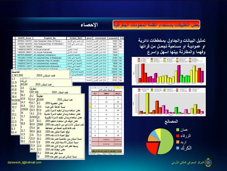
2. Conducting scientific and practical research and applications related to spatial and descriptive information and available aerial and space images, and submitting them to the concerned authorities.
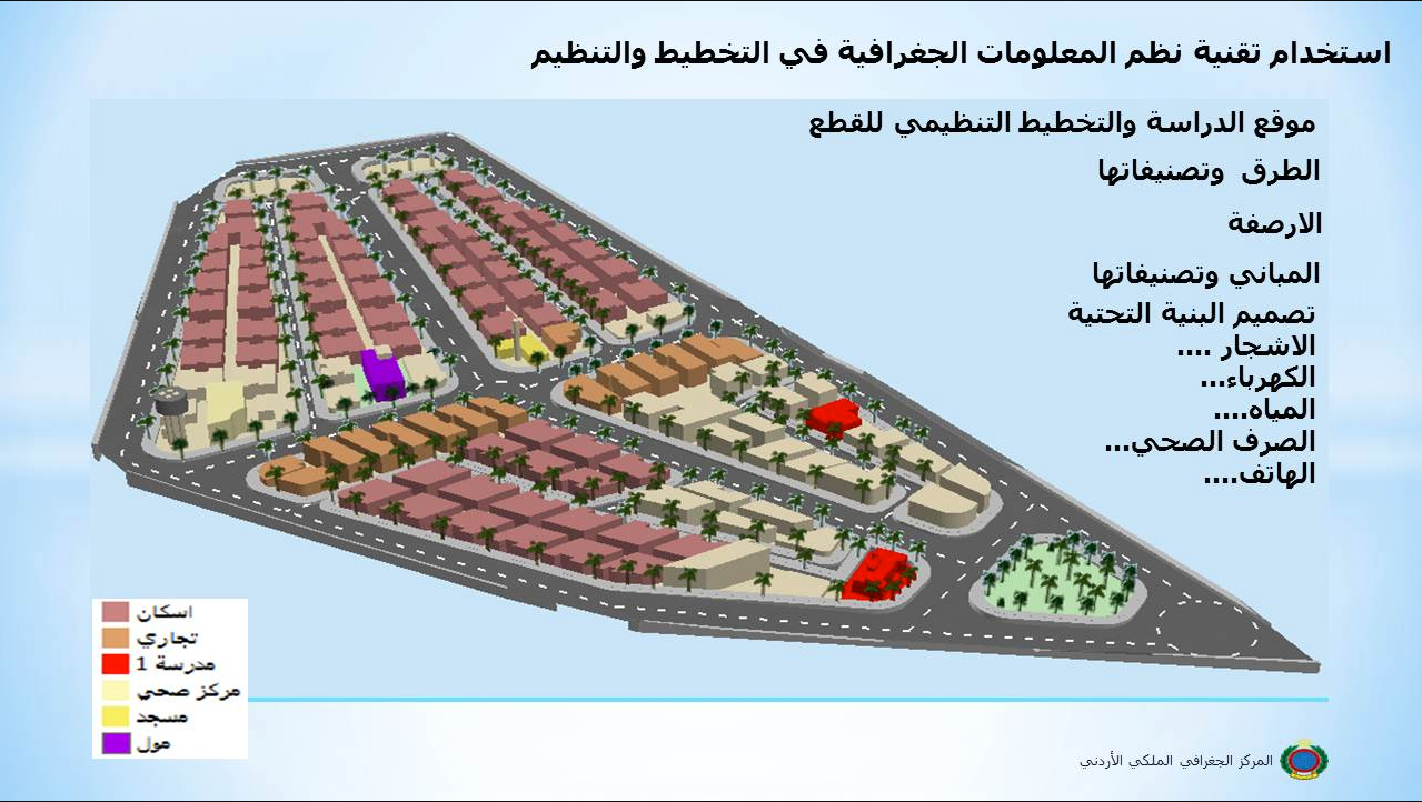
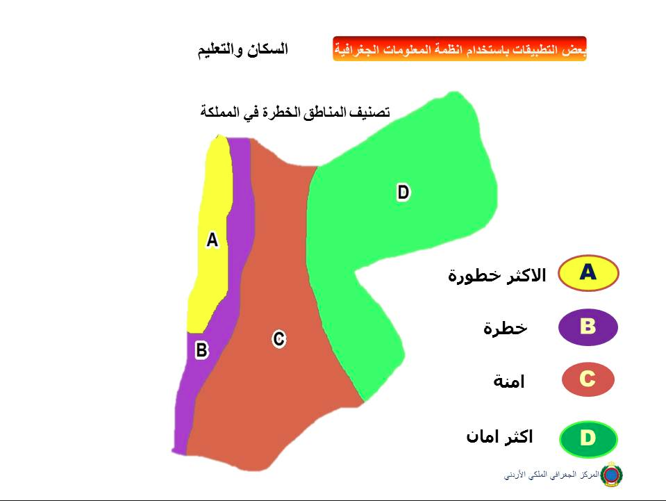
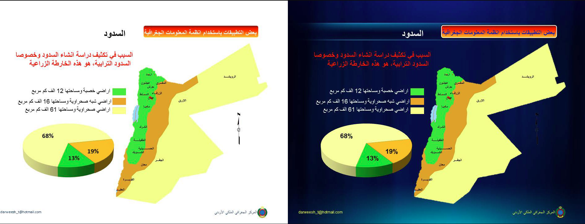
3. Execution of projects and maps that suit specific situations and situations, such as maps of elections, civil defense, marathon plans, water and soil maps, maps of neighboring countries...etc.
4. Production of databases for governmental and private institutions
